Ghumnajaau | Explore Nepal Together
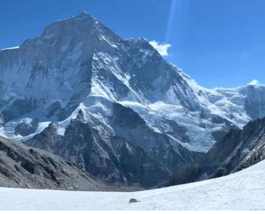
The Makalu Barun region in eastern Nepal is one of the wildest and least-visited trekking areas in the Himalaya. It is home to Mount Makalu (8,485 m), the fifth-highest mountain in the world, and to Makalu Barun National Park, where tropical river valleys rise to glaciers and snow peaks within a single trek.
If you want big mountain views without the crowds of Everest or Annapurna, this is the region to consider. It is also a demanding one: trails are steep, lodges are basic, and the route is remote.
Makalu Barun offers a rare mix of wilderness, wildlife and village culture:
Makalu Base Camp is the main goal of the region. It sits beneath the huge south face of Mount Makalu, with views of Makalu and neighbouring peaks such as Chamlang. The trail passes villages, forest, high passes and finally the glacial upper Barun Valley. It suits fit, experienced trekkers who are comfortable with long days at altitude.
The Barun Valley is the heart of the park. Expect glacial rivers, waterfalls, moraines, alpine vegetation and steep mountain walls on both sides. Facilities are very limited here, so careful planning and a good guide matter.
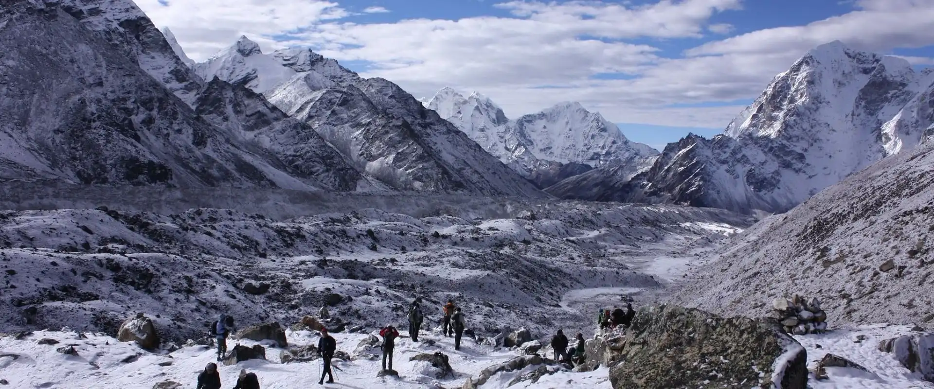
These two high passes (roughly 4,100 to 4,200 m) are crossed between Khongma Danda and the Barun Valley on the standard route. They bring wide ridge-line views and mark the shift from forest to alpine terrain. Weather can change fast, and snow may make the crossing harder in early spring or late autumn.
Khongma Danda is a high ridge camp and teahouse stop on the route, with lakes nearby, including Kalo Pokhari, the Black Lake. On a clear day, the dark water reflects the surrounding peaks.
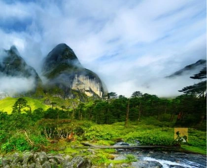
The lower park is covered with rhododendron, oak and bamboo forest. Spring is especially colourful when rhododendrons bloom. The forests are good for birdwatching, and the shift from woodland to alpine terrain is one of the best parts of the trek.
The Arun Valley is the gateway to the region. It has subtropical vegetation, terraced fields and traditional villages. It is a good place to see everyday rural life in eastern Nepal and settle into the pace of the trek.
This technical high-altitude crossing links the Makalu region with the Everest (Khumbu) region. It involves glaciers, steep snow and ice, and exposed terrain. It is a mountaineering expedition, not a standard trek, and needs technical skills, specialist gear, proper acclimatisation and an experienced team.
For travellers who want a quieter, less demanding option in the same part of eastern Nepal, the Silicho Peak and Panch Pokhari trek offers forest trails, ridges and mountain lakes. Check route conditions, camping needs and logistics before you go.
The usual route is Kathmandu to Tumlingtar, then by road toward the trailhead.
Overland travel from Kathmandu through eastern Nepal (for example via Dharan and Dhankuta) is possible but takes much longer. In the monsoon, flights and roads are often disrupted, so keep extra days in your plan.
Mountain weather changes quickly in every season, so check conditions before you start and before each high pass.
Related Blog: Best Time to Visit Nepal: Month-by-Month Guide
This is a typical plan: 16 trekking and travel days plus 2 buffer days for weather, flights or extra acclimatisation. Altitudes are approximate, and the exact schedule depends on conditions, group pace and your guide's advice.
This is a guide, not a fixed schedule. A safe itinerary must include acclimatisation time, realistic walking hours and contingency days.
The region is home to Rai, Sherpa, Limbu and other communities. Lower villages are known for terraced farming and local markets; higher settlements show more Himalayan Buddhist influence, with prayer flags and monasteries.
What you will eat on the trail:
Food choice gets narrower as you climb. Carry snacks and tell your trekking organiser about any dietary needs in advance.
Respectful travel: ask before photographing people, follow local customs and keep to conservation rules in the park.
For remote sections, arrange an experienced guide, porters, camping gear and food in advance.
Rules and fees can change, so always confirm them before you travel. Current requirements generally include:
If you book with Ghumnajaau, we can confirm the current permits and fees for your exact route and arrange them for you.
Related Blog: Nepal Trekking Permits & Fees 2026–27: Complete Guide
Preparation
Safety and altitude
How difficult is the Makalu Base Camp Trek?
It is strenuous. Steep trails, high passes, limited facilities and altitude make it harder than most popular treks in Nepal. Previous multi-day trekking experience is strongly recommended.
How many days do I need?
Plan 18 to 20 days from Kathmandu, including buffer days.
Can I do the trek without a guide?
It is not advised. The route is remote, trails are not always clear, and help is far away. A licensed guide improves safety and local support.
Is Makalu Barun better than Everest or Annapurna?
It depends on what you want. Makalu Barun is quieter and wilder, but also harder and less developed. Everest and Annapurna have better infrastructure and more flexible options.
What is the best month for the Makalu Base Camp Trek?
October and November for clear skies, and April for rhododendrons and warmer weather.
Makalu Barun is a wilderness to experience with respect and good preparation. Ghumnajaau designs guided treks in eastern Nepal with experienced local guides, practical itineraries and permit support.
Contact us to plan your trek, or ask about private and small-group departures.
One Journey. Beautiful Memories!
We create unforgettable trips, customized for your group.